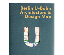
Berlin Map
City Transport Maps
City Transport Maps
City Transport Maps
City Transport Maps
City Transport Maps
  • Load image into Gallery viewer, Berlin Map
  • Load image into Gallery viewer, City Transport Maps
  • Load image into Gallery viewer, City Transport Maps
  • Load image into Gallery viewer, City Transport Maps
  • Load image into Gallery viewer, City Transport Maps
  • Load image into Gallery viewer, City Transport Maps

City Transport Maps

Regular price
£9.00
Sale price
£9.00
Regular price
Sold out
Unit price
per 
Tax included. Shipping calculated at checkout.

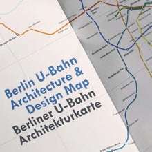
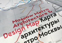
These two-sided cartographic guides are an insightful and fascinating guide to the architecture, art and graphic design of each city, for transport lovers, students of design and anyone interested in the history.

The guide includes a geographical map with featured stations marked, with corresponding photography and details on the reverse along with tips for where to find unique and unusual signage, murals, artworks and more. 

The map opens to 420 x 594 mm (16.5 x 23.4 in) and folds to (148 x 210 mm 5.8 x 8.3 in). It is protected by a Kraft slipcover.